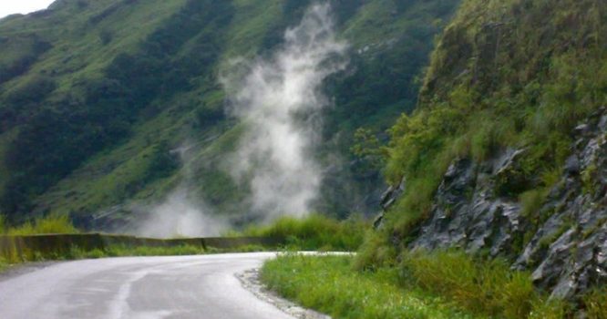
Charmadi Ghat is one of the points through which it connects Chikkamagalur district with Dakshina Kannada District. The 25 km stretch starting from Kottigehara to Charmadi Village is beautiful, scenic, awesome, calm and peaceful. It is a unique place as it is a rich bio diversity spot with variety of medicinal plants and rare animal
Our Blog
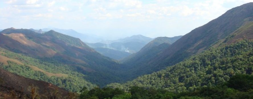
Devaramane-25KM
Devaramane is renowned for its Kalabhairaveshwara temple. Situated on a hill, this small nice temple looks like quite an old temple and is well maintained. The term ‘Devaramane’ roughly translates to the ‘Abode of God’ and the serene tranquility that prevails here quite aptly satisfies that nomenclature. There is a pond in front of the
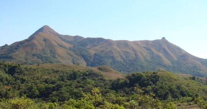
Jenukal Gudda -38KM
Jenukal Gudda is lapped amidst the thick green woods and rich plantations of coffee and is often frequented by trek-lovers from all parts of Karnataka. Jenukal Gudda is also termed as a honey stone mountain. Along with a panoramic view of the various hill blanketed with verdant greenery, Jenukal Gudda is a great place where
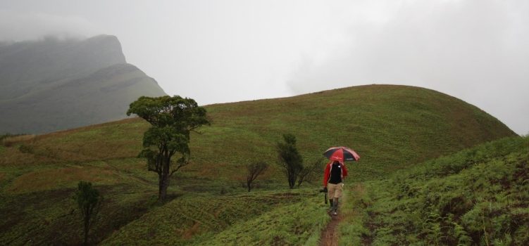
Kudremukha – 75KM
Kudremukha is a mountain range and name of a peak located in Chikkamagaluru district, in Karnataka, India. It is also the name of a small hill station cum mining town situated near the mountain, about 20 kilometers from Kalasa. The name Kuduremukha literally means ‘horse-face’ (Kannada) and refers to a particular picturesque view of a
Maidadi -48KM
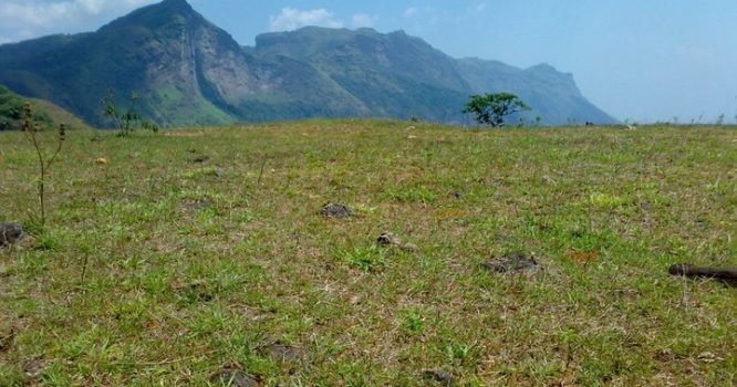
Maidadi is a wonderful view point near Kalasa which lies 92 kilometres south-west of Chikmagalur and is located on the banks of the Bhadra River. Kalasa is a holy temple-town located in Chikmagalur district in Karnataka. Kalasa is also home to the Kalaseshwara Temple dedicated to Lord Shiva.
Merthykhan Gudda – 68KM
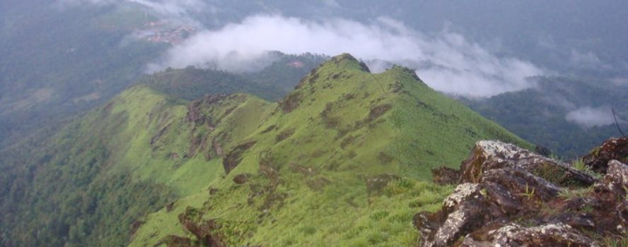
Merthi Gudda is one of the beautiful hill-station in Karnataka. It’s located in Basarikatte, near Horanadu temple and is situated in Chikmagalur district. It is the highest peak in the range from where one can have a beautiful view from the peak. From one route trek is bit tricky and the plantations are very slippery.
Ombattu Gudda -38KM
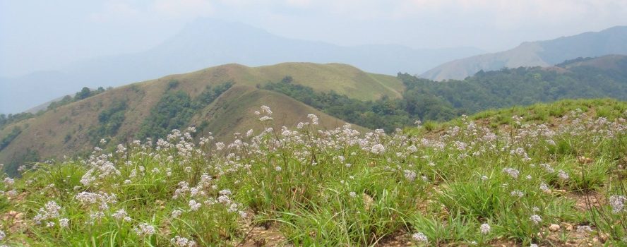
Ombattu Gudda is one of the highest peaks of the Western Range located along the borderline of Chikmagalur and Hassan. The destination is known for its beautiful trek trail and attracts tourists every year as it only takes an overnight journey to reach Ombattu Gudda from Bangalore.
Ettina Bhuja -28KM
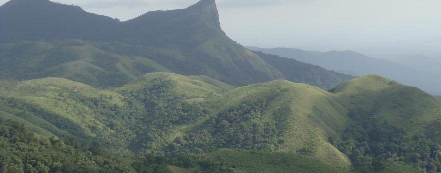
Ettina Bhuja is one such mountain that is a part of the Charmadi range at an altitude of 1300 m (4,265 ft). It is situated in the Mudigere range of Chikmagalur district. Ettina Bhuja meaning “Ox’s Shoulder” is one of the unexplored treks in Karnataka. Locals call this trek as Shishila Gudda trek. Panoramic views

Belur Temple -20KM
The Chennakeshava Temple, also referred to as Keshava, Kesava or Vijayanarayana Temple of Belur, is a 12th-century Hindu temple in the Hassan district of Karnataka state, India. It was commissioned by King Vishnuvardhana in 1117 CE, on the banks of the Yagachi River in Belur also called Velapura, an early Hoysala Empire capital. The temple

Mullayanagiri -48KM
Mullayanagiri is the highest peak in Karnataka, India. Mullayyanagiri is located at 13°23′26″N 75°43′18″E in the Chandra Dhrona Hill Ranges of the Western Ghats of Chikkamagaluru Taluk. With a height of 1,930 metres (6,330 ft), it is the highest peak in Karnataka. The summit of Mullayanagiri houses a police radio relay station. Seethalayyanagiri is a


